
April 26 & 27, 2026
Dear Friends,
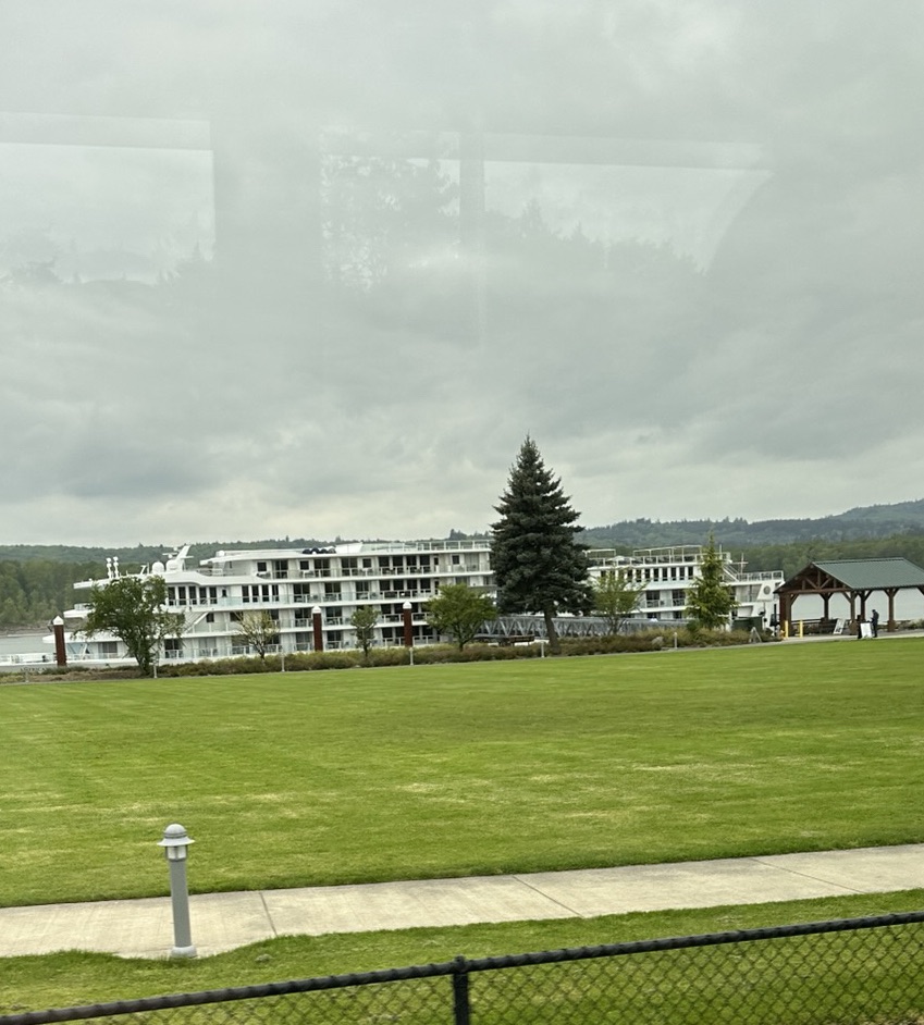
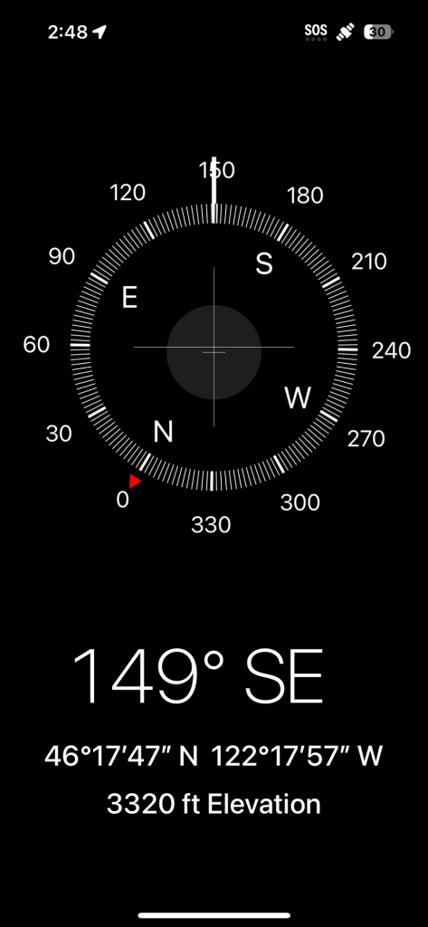
Monday morning greetings from Kalama, Washington. Originally, I thought I was in Oregon until I pulled up by Google app (see below) and realized that the border between Oregon and Washington s middle of the Columbia river.
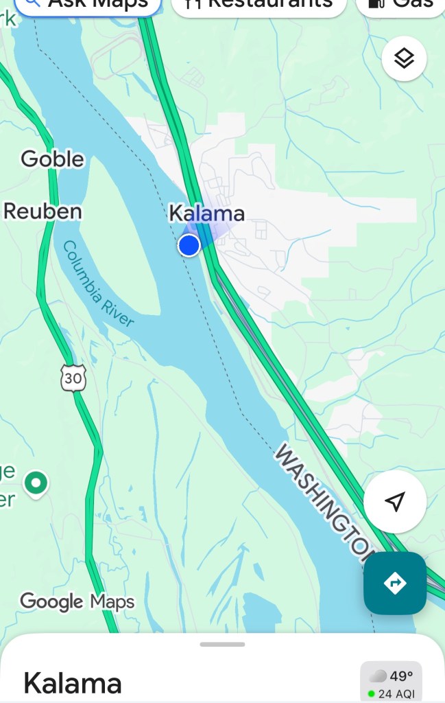
If you look closely at the map, you will see that it is 49° outside the ship.
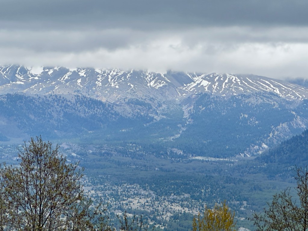
I’m currently in the fourth floor lounge waiting for our first special speaker discussing the Lewis and Clark expedition. After lunch today, we head out to see the devastation and rebirth of Mount Saint Helens.
It’s hard to believe that this volcano blew its top 46 years ago. It will be interesting to visit the museum and actually see the site this afternoon.
April 26
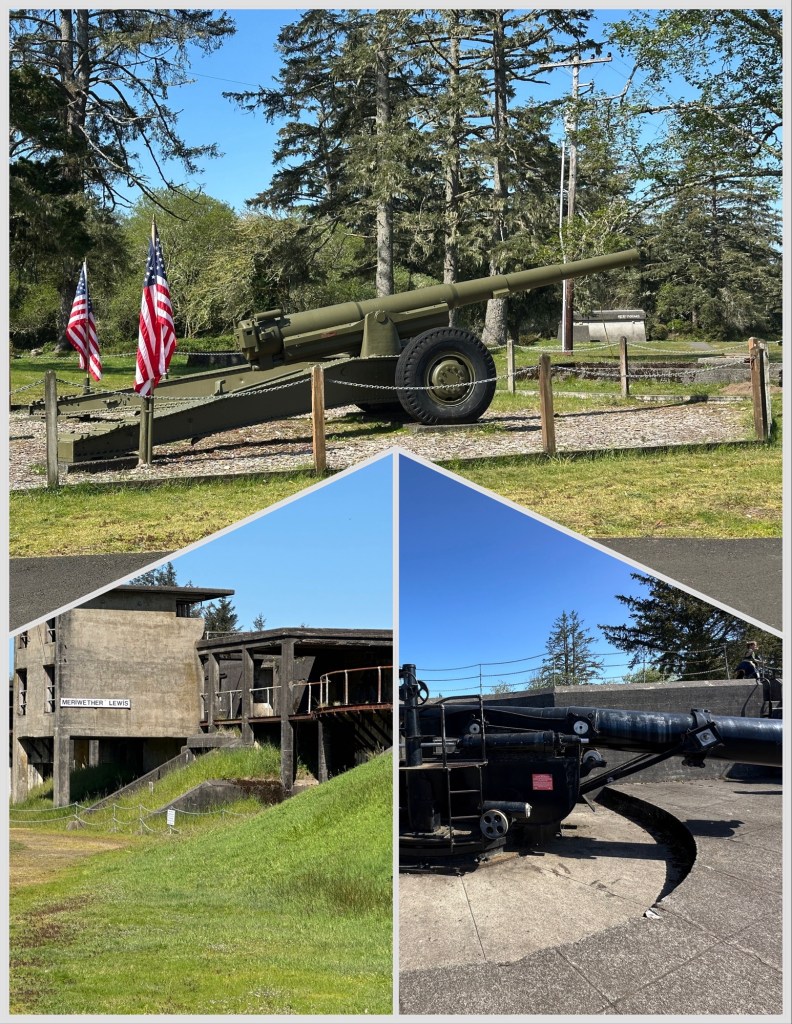
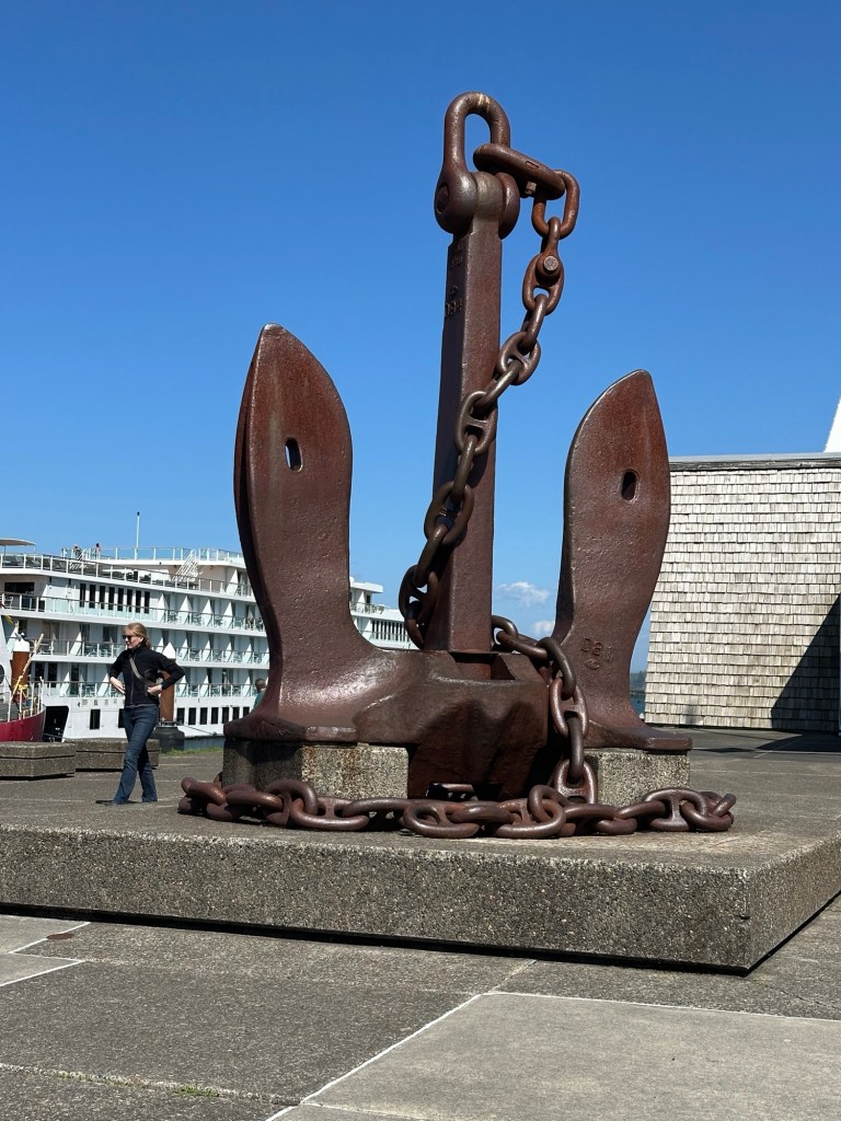
Yesterday was our first day of our cruise. The shore experiences that day included a visit to the Pacific Ocean that is part of Fort Stevens, an 1863 fort that was recommissioned for WW I and II along the Oregon coast.
This section of coast has been nicknamed the perilous coast as it has seen more than 2000 shipwrecks.
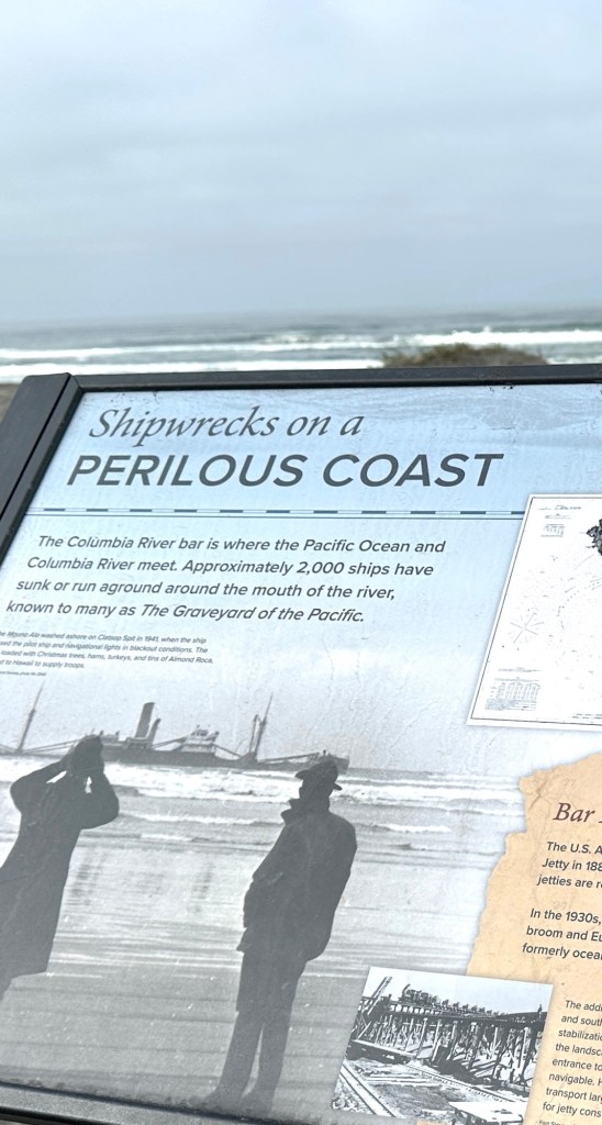
One famous shipwreck is part of the current beach, the British Ship the Peter Iredell which wrecked in 1906.
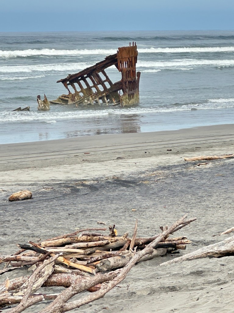
The abandoned military Fort is part of the 120 acre State Park. 
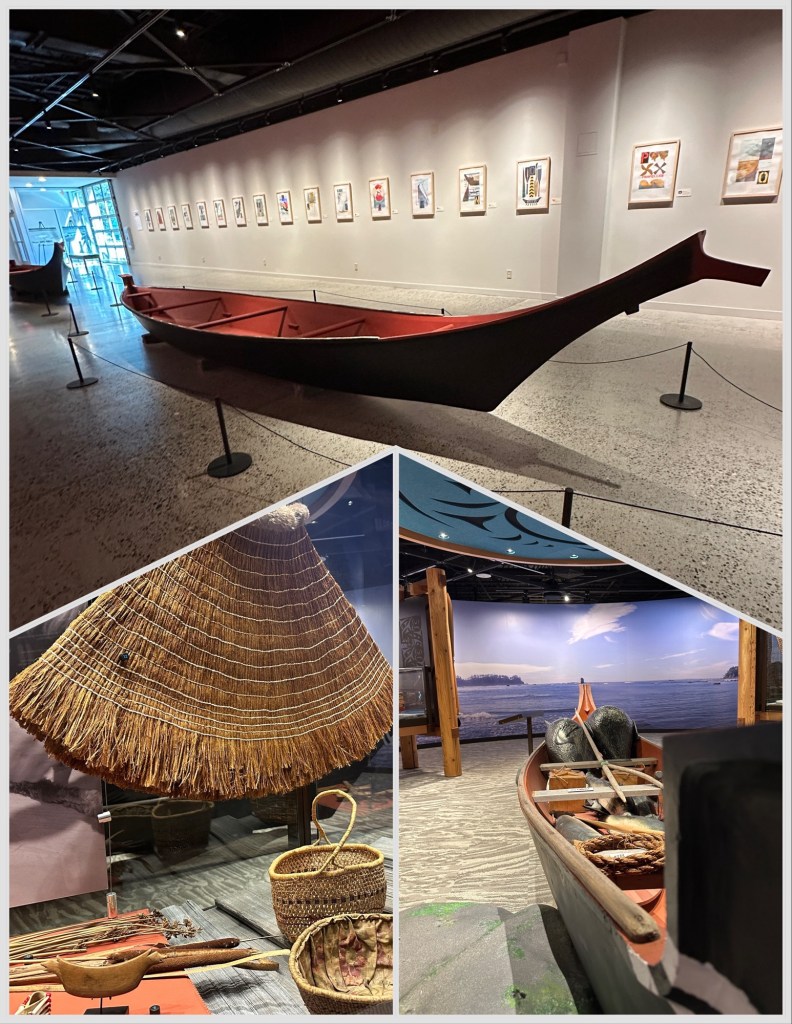
Where we docked in Astoria, Oregon, we were right across from the Columbia River Maritime Museum.
Interesting information of history of travel on the Columbia River, including how the early tribes used the river. A recent exhibition on the Chinook tribe of Oregon and Washington was both beautiful and informative.
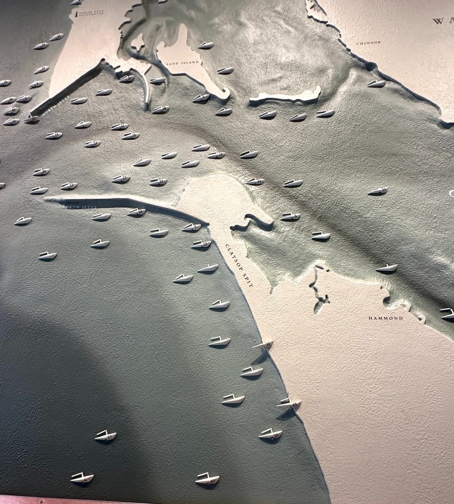
One display on the wall as you entered the museum, shows the location of the shipwrecks at the entrance of the Columbia River. Entry for cargo ships still require ships to dock outside of the entrance to await an experienced harbor pilot guide the ship through the dangerous waters into the Columbia River.
Monday, April 27:
Mount St. Helens
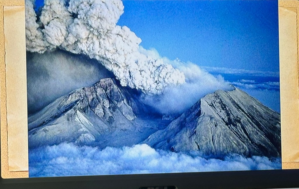
Monday started out cold and cloudy. Not the best day to be able to see the top of Mount Saint Helens.
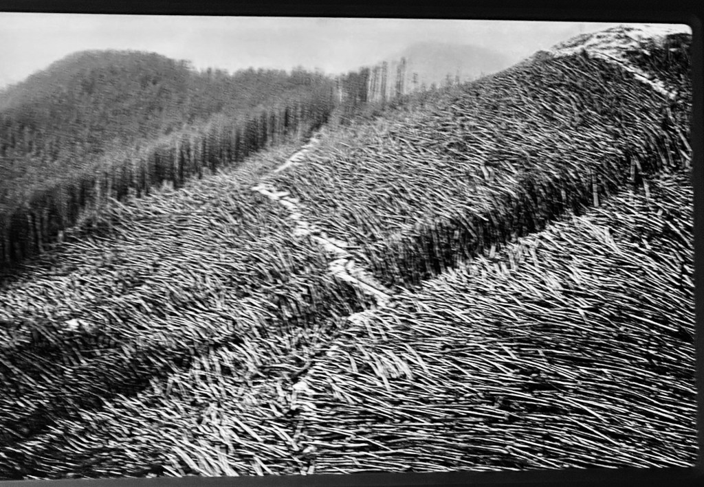
Fortunately, we had a very informative bus trip for the 2 1/2 hours to get to the base of the mountain. Our guide gave us a slideshow that helped orient us to what was here 46 years ago in 1980
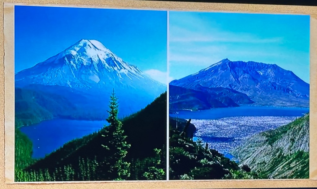
Images of Mount Saint Helens before, and after the eruption
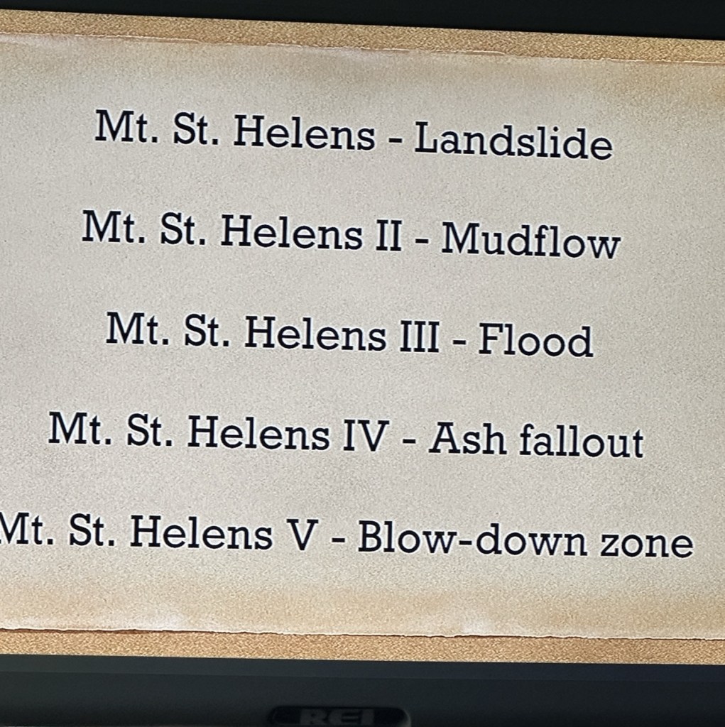
Mount Saint Helens was not a typical lava flow that we tend to observe on the Pacific Rim. The information above gives the five stages of Mount Saint Helens blowout.
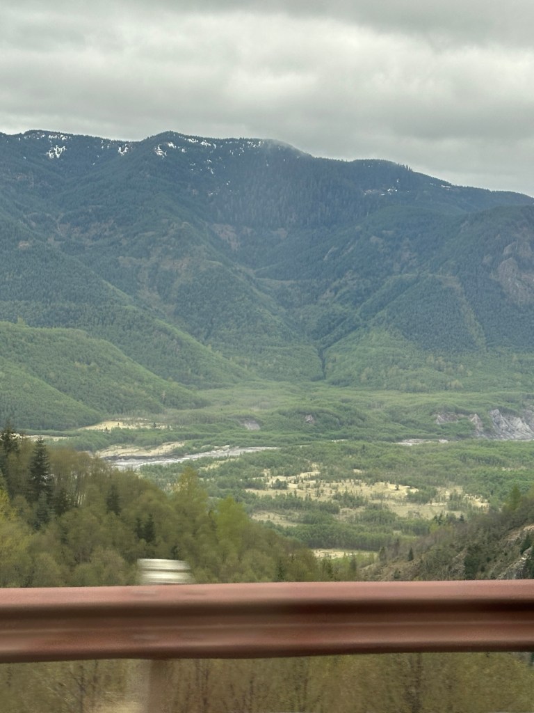
Mount Saint Helens is still the most active volcano in the cascade rim. While it is not active now scientists believe it could become active soon.
Thanks for sharing this journey.
Ellen
